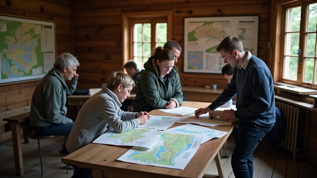
Why Visitor Centers Matter
When you're planning a trip to Krkonošský, Šumavský, Podyjí, or České Švýcarsko, the visitor centers aren't just tourist traps. They're genuinely useful. You'll find staff who actually know the trails — not just memorized talking points, but real experience with what conditions are like in different seasons.
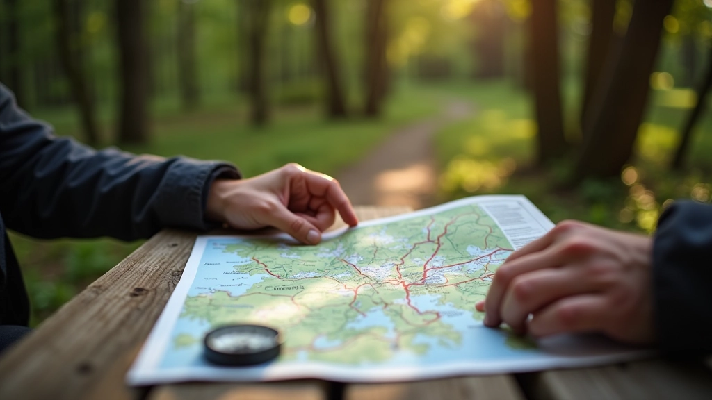
The maps you get are free and surprisingly detailed. They show the coloured blaze system clearly, mark water sources, and highlight which sections might be muddy in spring. Most importantly, they're updated regularly. Trail conditions change — trees fall, sections close for maintenance — and these centers keep current information.
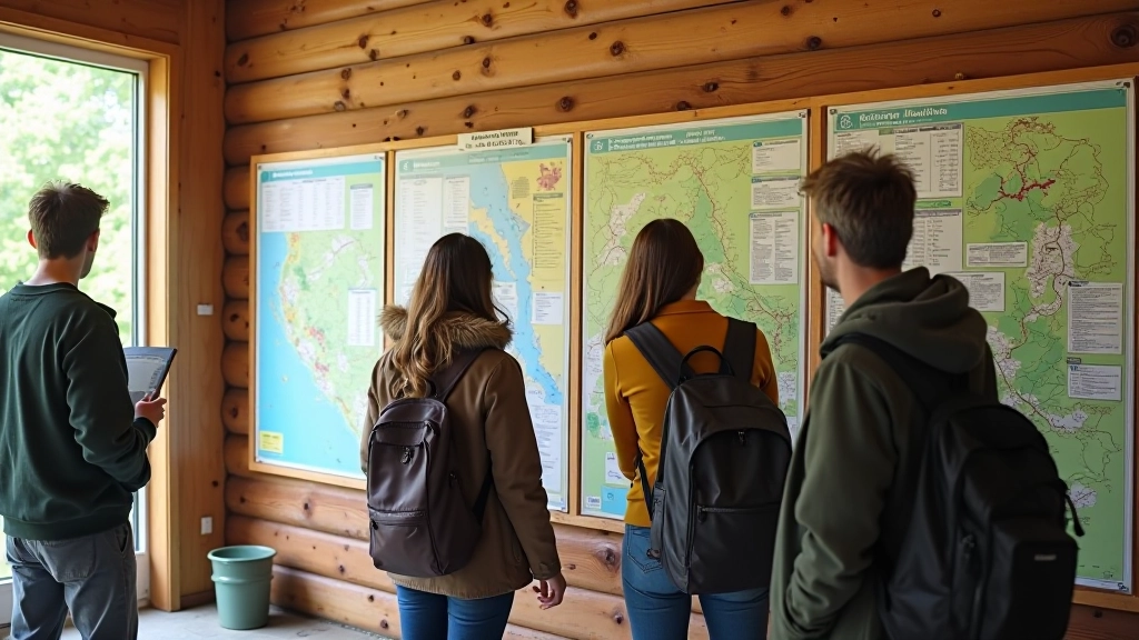
What You'll Actually Find Inside
Walking into a park information center, you'll see wall-mounted maps showing every marked trail. The coloured blazes (red, blue, green) are clearly indicated. There's usually a rack of printed guides covering specific routes, seasonal highlights, and wildlife information.
Don't overlook the flora and fauna guides. These aren't fancy coffee-table books — they're practical field guides in Czech, German, and often English. You can identify plants you'll see, understand which animals are active in which seasons, and learn why certain areas are protected.
Pro tip: Pick up the seasonal updates. A center's April map looks different from its October map — trail accessibility changes with weather.
"The staff actually corrected our route because a bridge was out. That wasn't on the map yet, but they knew about it. Without that tip, we'd have wasted hours."
— Pavel, visitor
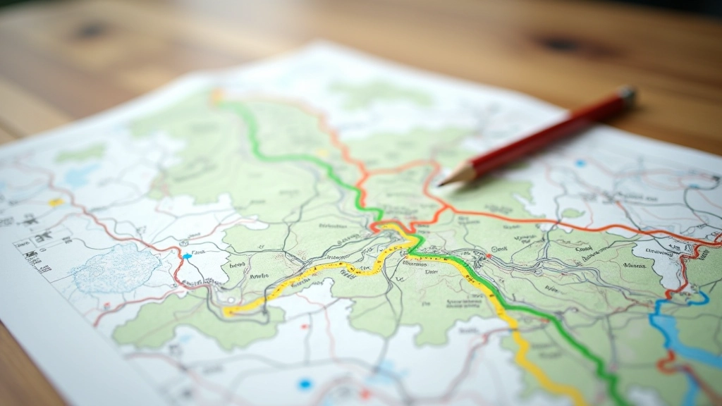
Understanding the Coloured Blaze System
The Czech coloured blaze system uses three main colors, and staff can explain the differences clearly. Red blazes mark longer, more demanding routes — often 15+ kilometers. Blue blazes are medium difficulty, typically 8-12 kilometers with moderate elevation. Green blazes are the shortest, easiest walks, usually under 5 kilometers.
What makes this system brilliant is consistency. Once you understand it, you can navigate any Czech national park. The blazes themselves are painted on trees, rocks, and fence posts — you're not dependent on electronic navigation.
Information Note
The information provided here is educational and intended to help you plan visits to Czech national parks. Trail conditions, weather, and accessibility change seasonally. Always check with local visitor centers before starting any hike, bring appropriate gear, and follow posted safety guidelines.
Getting the Most from Your Visit
Arrive at a visitor center early if you can. The staff aren't rushed, and they'll spend time answering questions. Tell them your experience level, how much time you have, and what interests you. That 5-minute conversation can save you hours of wrong turns.
Take multiple maps. Get one for the route you're planning and one showing the broader park system. Sometimes you'll discover a detour worth taking, and having the overview map makes it easy to improvise safely.
Grab the Main Trail Map
Ask for the comprehensive park map showing all coloured routes and current conditions.
Pick Up Seasonal Guides
Take the wildlife and plant identification guides relevant to your visit season.
Ask About Current Issues
Talk to staff about recent closures, weather impacts, or wildlife alerts affecting your planned route.
Check Protection Zones
Understand which areas are restricted to preserve sensitive ecosystems, and stick to marked trails.
Planning Multi-Park Trips
If you're planning a weekend hitting multiple parks — say Krkonošský and České Švýcarsko — the centers help you understand logistics. How far apart are they? Which routes connect them? Where can you eat or rest between parks?
Staff can suggest loops that combine hiking with nearby castle towns. That's not just tourist info — it's practical route planning. You'll get recommendations for specific spots worth seeing and the best time of day to visit them.
Beyond Maps — Local Knowledge
The real value of visitor centers goes beyond printed materials. The staff have hiked these trails. They know which routes get muddy in spring, where afternoon shade is valuable in summer, and which viewpoints are genuinely worth the elevation gain.
They'll tell you things a map can't. Like how the red route near Šumavský has a rocky section that's sketchy when wet. Or which section of the Podyjí trails has surprising wildlife activity. Or that the castle town of Český Krumlov is worth a day visit between park hikes.
You're not just getting paper — you're tapping into local expertise that'll make your trip safer, more enjoyable, and genuinely memorable.