Getting Started With Blazes
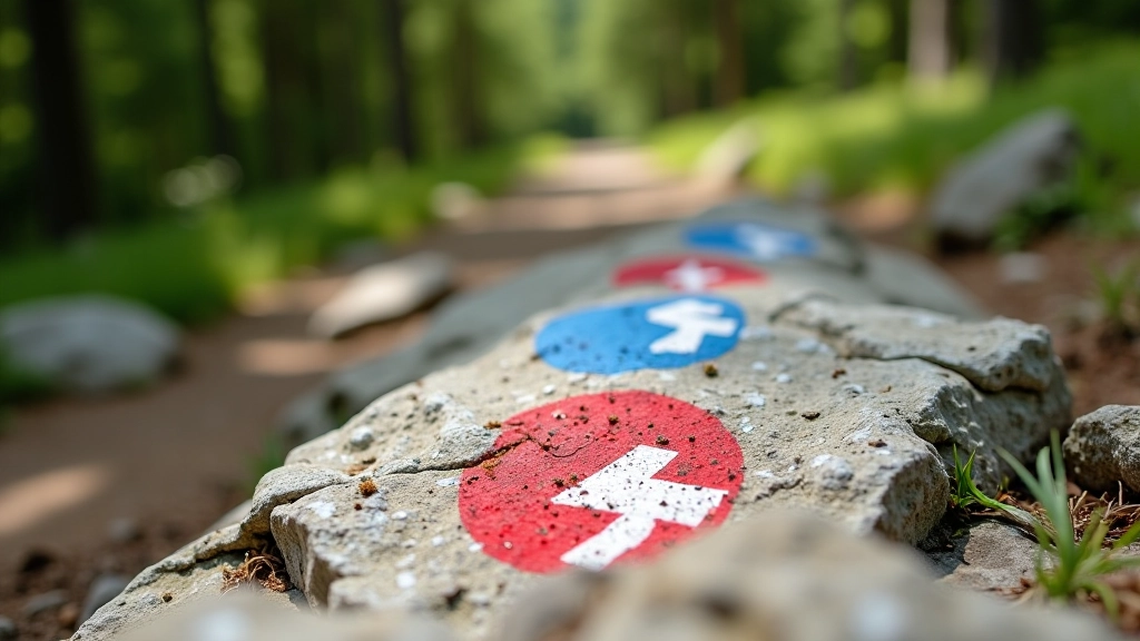
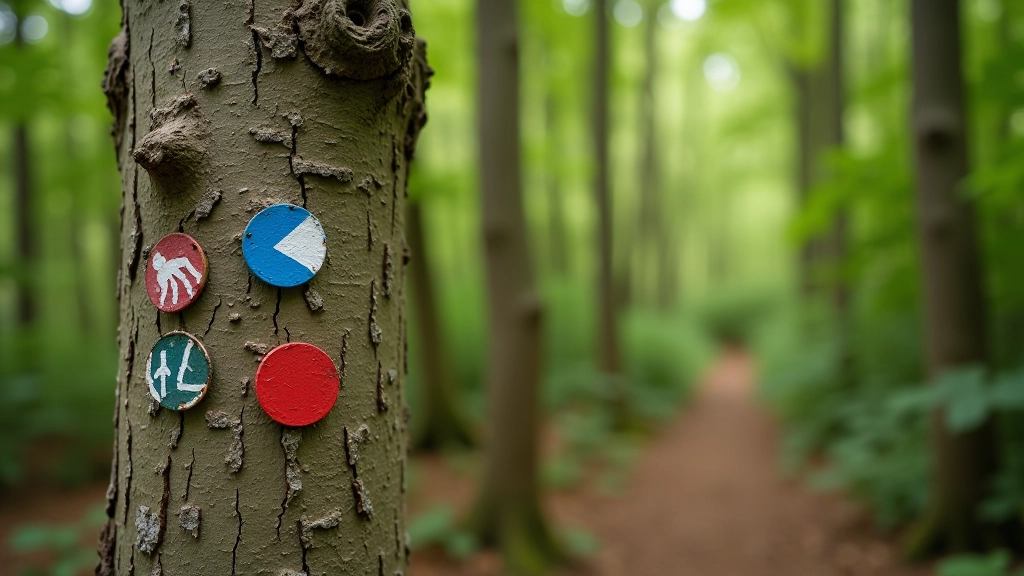
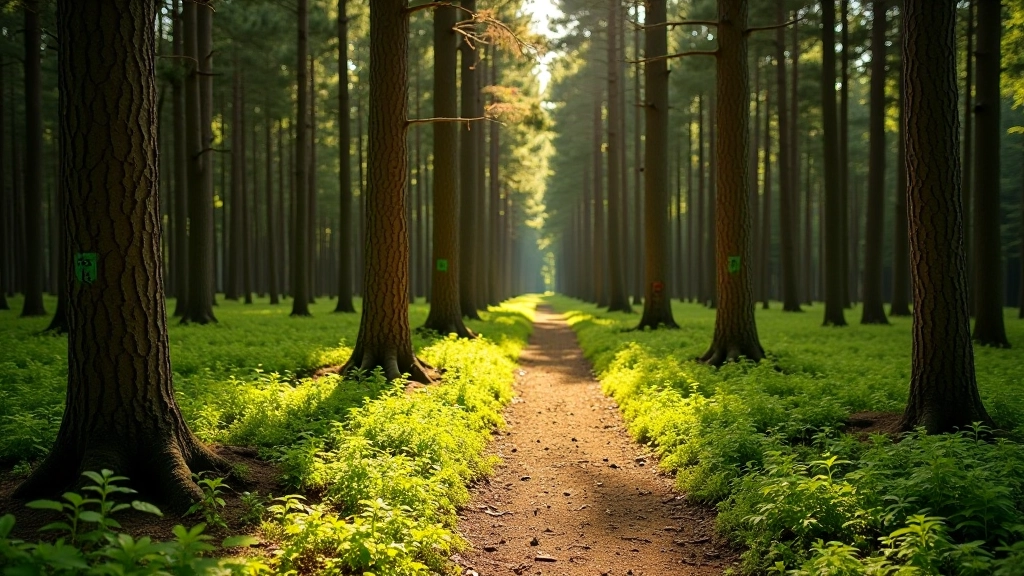
The Czech blaze system is one of the most reliable trail-marking systems in Europe. It's simple, consistent, and it works. You don't need fancy GPS or expensive apps — just your eyes and a basic understanding of what the colors mean.
Start with a shorter red trail to get comfortable with the system. Pay attention to how the blazes are positioned. Notice how they're spaced. Feel the rhythm of following them. After your first hike, you'll realize it's intuitive. You'll be spotting blazes from a distance and trusting them to guide you deeper into the Czech wilderness.
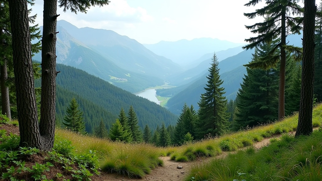
Next time you're planning a hike, grab a map from a visitor center and hit the trail with confidence. The blazes will be there, marking the way, just like they have for decades.